Technology · · 4 min read
Why Ibadan’s Growing Property Market Needs Better Information
Imagine a stretch of land on the edge of Ibadan that was once mostly farmland, a few scattered compounds, and one untarred road.
A decade later, it could be a developing residential axis — new estates, a school, small businesses, and a property market active enough for agents to list properties there every week.
The land changed fast.
The information describing it didn’t always keep pace.
The survey may exist. The transaction may exist. The address may have changed. A new building may have replaced an open plot.
Whether all of that information is still connected to the property it describes is a different question.
That gap is what this article is about — not whether Ibadan is growing, but whether the information keeping track of that growth is growing with it.
Growth is a physical story. It’s also an information story.
World Bank analysis puts Ibadan’s built-up area at roughly 83 square kilometres in 1975, 182 in 1990, 202 in 2000, and 348 by 2014. That represents more than a fourfold increase in the city’s built-up area over that period.
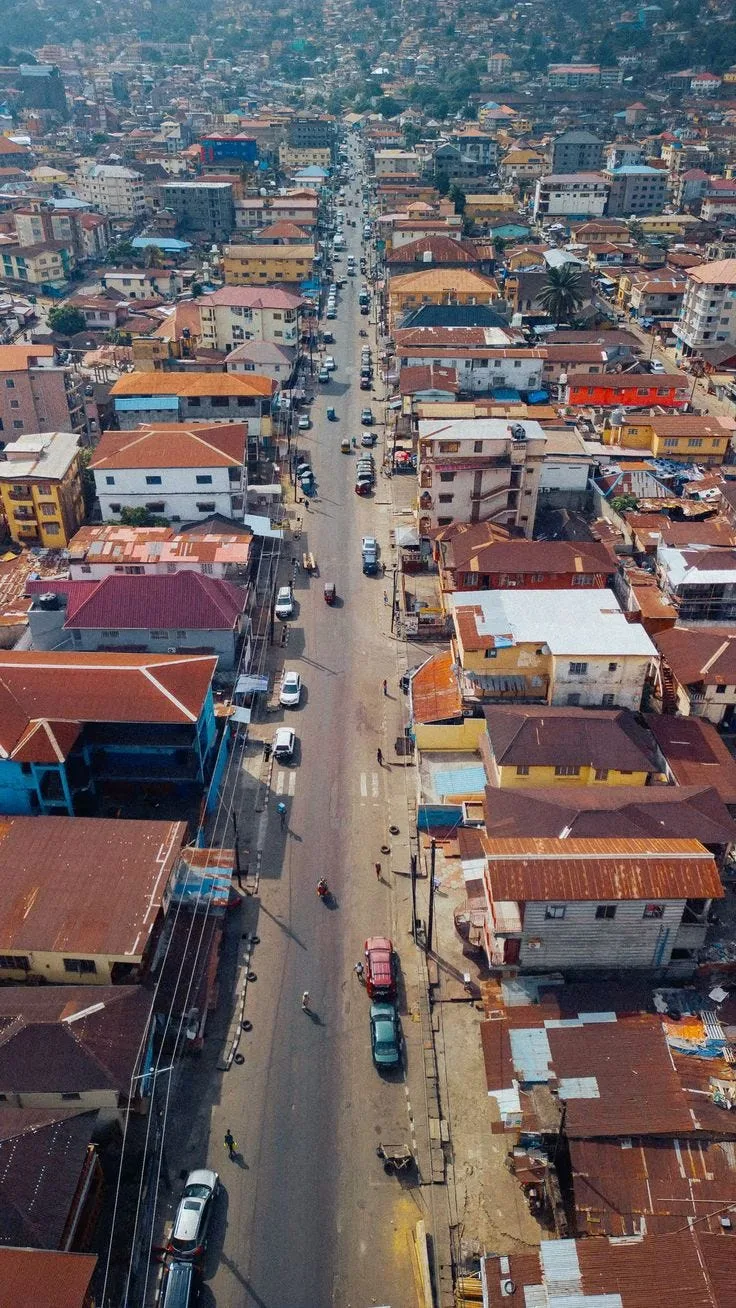
Every added square kilometre came with new parcels, new addresses, new owners, new transactions and new development.
Land was subdivided. Buildings replaced open plots. Roads reached areas that had previously been peripheral and changed their relationship with the rest of the city.
Each of those changes produced information somewhere.
A developer needed spatial information before building. A financial institution needed property information before financing. Government needed to understand what existed before making decisions about infrastructure and land use.
None of that is unique to buyers and sellers.
Property information is part of urban infrastructure
More records isn’t the same as better information
Take two developing areas on Ibadan’s edge, both with hundreds of new properties over the past decade.
In one, records are relatively easy to trace back to the right property. A reference exists, changes can be tracked, and a lawyer or other professional can reconstruct what happened without excessive friction.
In the other, information exists in roughly the same volume, but it is scattered: a receipt here, an old agreement there, a survey that needs to be reconciled with what is actually on the ground.
The difference isn’t necessarily how much development has happened.
It is how usable the information is when someone actually needs it.
That distinction matters as Ibadan keeps expanding.
A growing city does not simply generate more buildings. It generates more relationships between land, ownership, addresses, development, infrastructure and time.
The information describing those relationships needs to keep up.
Ibadan already has real infrastructure here
Oyo State has built meaningful pieces of this infrastructure.
OyoGISS, the state’s geographic information system, captures, stores, manages and analyses geographic data for areas including land administration, urban planning and economic development. Its Property Reference System assigns reference codes to properties and supports property location and addressing.
Alongside it, the state operates digital property searches that provide information such as ownership history, legal status and encumbrances. Its Digital Land Survey Plan Registry also allows users to check whether a survey plan has been captured in the official digital system.
These systems matter for more than convenience.
They begin turning property information from something people have to dig up piece by piece into something structured around the property itself.
That is an important shift for a city that keeps changing.
This isn’t only a buyer’s problem
When government wants to upgrade a neighbourhood — a new road, drainage system or public facility — it needs to understand the area first.
Where are the properties?
How is the land being used?
What infrastructure already exists?
How has the area changed?
Oyo State’s Home Owners Charter connects property enumeration and documentation with broader planning and the provision of public infrastructure.
The same logic applies to private development.
A property’s potential is shaped by what surrounds it: access roads, nearby development, permitted use and existing infrastructure.
As Ibadan’s edges keep filling in, understanding one property increasingly means understanding its context too.
What a growing city like Ibadan actually needs next
Digitising property information is an important step.
But scale changes what “enough” looks like.
A city whose built-up area expanded from roughly 83 square kilometres to 348 square kilometres between 1975 and 2014 does not just need searchable records. It needs those records to remain connected as the same properties change hands, change use and change over time.
That’s where a persistent property reference matters.
Instead of every transaction, survey or approval existing as its own disconnected fact, each piece of information can be associated with the same underlying property. The history accumulates instead of scattering.
That is the larger opportunity in digital property identity: not simply putting more property information online, but giving that information a consistent point of reference as the city changes around it.
Ibadan’s growth was never really the hard part.
The harder part is making sure the city’s information can grow at the same speed as the city itself.
A bigger city doesn’t just need more property.
It needs to actually know the property it already has.
Originally published on Medium.